
Gemini SiteFlow
Gemini SiteFlow gives you controlled data distribution between office and field, ensuring everyone works from the same models and project data regardless of location.
Built to ensure that machine control systems, survey equipment, and field teams always receive the correct, updated data directly from Gemini Terrain.
One solution for distributing models and machine-control data across mixed equipment environments.
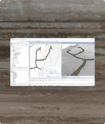
Gemini SiteFlow gives you seamless data sharing between office and field, ensuring everyone has access to the same models and data no matter where they are. The service exports data directly from Gemini Terrain to a wide range of machine‑control and visualisation systems, supporting mixed equipment environments without extra formatting work.
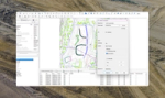
Gemini SiteFlow is activated in Gemini Connected, where you can distribute models to machine‑control units, total stations, or handheld GPS devices. This gives you direct control over model distribution and simplifies workflows by ensuring that the latest revisions reach the field when they’re needed — without manual steps or version confusion.
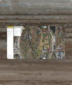
By exporting data directly from Gemini Terrain to third‑party systems — independent of supplier or required data format — Gemini SiteFlow significantly improves your workflow efficiency. It reduces time spent preparing files, increases quality assurance, and lowers the risk of errors in the field. “As‑built” data can also be imported back into Gemini Terrain for mass calculation, documentation, and model updates.
Specifications
Related products


Common questions about Gemini SiteFlow
Find answers here
Models are exported directly from Gemini Terrain and distributed through Gemini Connected, ensuring that machine‑control systems and GPS units receive the latest version automatically.
Yes, it exports machine-control data independently of supplier format requirements and integrates with platforms including Makin’, Leica, Trimble, Xsite, and Topcon SiteLink.
Yes, “as-built” data imports support accurate mass calculations, model adjustments, and documentation based on field measurements.
Yes, data can be distributed efficiently to several active Terrain projects, making it easier for teams managing multiple sites to maintain consistent workflows.